
Your Hudson Valley Weather For the Week Ahead
As we enter the middle of January, some across the area are still wondering if the Hudson Valley will see substantial snowfall this winter. This weekend brought colder, windier weather back to the Hudson Valley, but overall, temperatures are still around normal for this time of year.
Will it snow anytime soon?
Multiple rounds of major storms have brought severe weather and flooding rains to the west coast, and tornadoes to the south, but the Hudson Valley and New York City areas have remained mostly spared so far this season.

Aside from some areas such as Buffalo, snowfall totals have remained far below normal for most of New York this year.
Forecast For the Hudson Valley
The Weather Channel says that highs Monday and Tuesday should climb to the low 40s, with skies remaining partly cloudy. Lows Monday night will fall to the low 20s, though remain in the 30s by Tuesday night. Wednesday will be slightly warmer with highs in the mid to upper 40s.

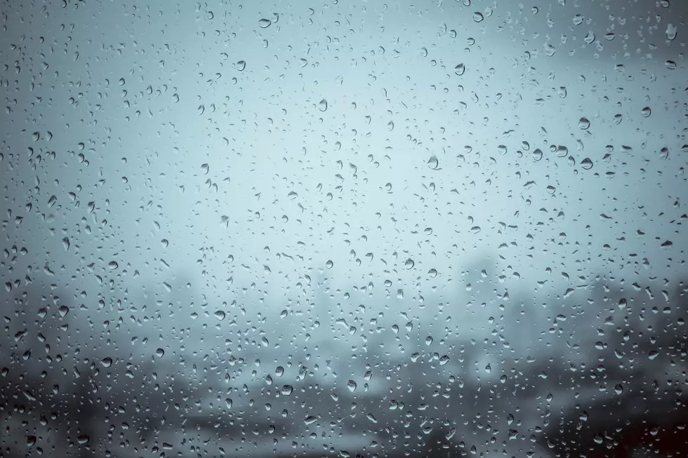
The next real chance for precipitation will be Thursday, with occasional heavy rain during the afternoon, and steady rain by evening, according to TWC. After that, temperatures will remain in the low 40s Friday and Saturday, and lows in the 20s. Another chance for rain returns by Sunday afternoon.
Looking ahead, the only real chance for any sort of snow could be by next Monday night, according to TWC. And even then, any precipitation we may get will be a mixture of rain and snow.
LOOK: The most expensive weather and climate disasters in recent decades
LOOK: The most extreme temperatures in the history of every state
More From WPDH-WPDA


