Strong Nor’Easter Expected To Arrive Tomorrow in the Hudson Valley
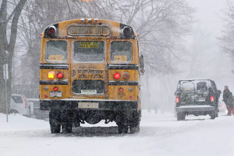
Tuesday's quiet weather won't stick around much longer, as forecasters say a Nor'Easter is expected to move up the Atlantic coast and into the Hudson Valley Wednesday afternoon and Thursday.
The rain should start to creep into the Hudson Valley Wednesday afternoon and evening, anywhere from 5-10 p.m.
The good news is that it's still way too warm for this to be snow in most areas. There could be some pockets of snow in parts of the higher elevations in the Catskills and Capital Region, however. For the rest of the area though, heavy rain and wind are going to be the primary issue.
The Northeast is expected to see rainfall amounts anywhere from 1 to 3 inches, with some local amounts over 4. It's also going to get quite windy, with sustained winds of 20 to 40 m.p.h across the area. Some gusts could approach 60 m.p.h, which raises the concern for downed trees and power lines across the region.
Meteorologists say the approaching storm is going through the process of Bombogenesis, which, according to the Weather Prediction, is defined as a cyclone that drops in surface barometric pressure by 24 or more millibars in a 24-hour period. Basically, in less fancy terms, the storm is going to get real strong, real quick.
Listen to Middays With Hopkins weekdays from 10AM to 2PM through your WPDH mobile app. Connect with WPDH on Facebook, Instagram and Twitter.
Read more:
- Idiot Crashes Car Attempting to 'Drift' on Route 44 in New Paltz
- We Tour 21 Abandoned Businesses on Route 9
- Hudson Valley Waitress Brought to Tears Over Surprise Tip
- New York Lake Named Most Beautiful in America
- Top 6 Hudson Valley Restaurants Featured on Food Network
- Enormous Fish Live in Hidden Cave Under City of Poughkeepsie
BONUS VIDEO
More From WPDH-WPDA


