“Shock to the System” Weather About to Hit Hudson Valley
Brace yourselves, the Hudson Valley is in for a wild ride.
If you’ve been enjoying the mild weather lately, you may want to soak up the last of it today. The Hudson Valley is about to experience another dramatic weather swing, with temperatures expected to plunge nearly 30 degrees in just 24 hours.
It’s the latest example of the roller coaster weather pattern that’s been bouncing back and forth across the region.

Warm Monday, Then a Sudden Drop
According to the National Weather Service, much of the Hudson Valley will see a mild start to the week. High temperatures on Monday are expected to climb into the mid to upper 60s with rain showers and gusty winds moving through the area.
But that warm air won’t last long.
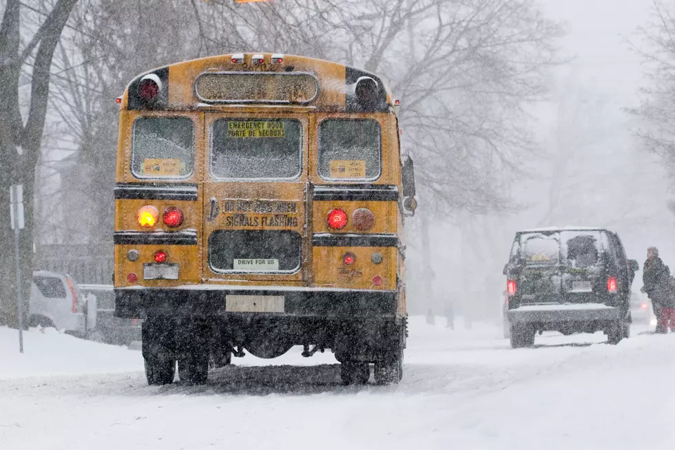
A strong cold front is expected to sweep through the region Monday night. As it moves across the Hudson Valley, temperatures will crash into the upper 20s overnight. Some areas could even see a brief mix of rain, sleet or wet snow as the colder air rushes in.
By Tuesday afternoon, highs will struggle to reach the low to mid 30s across much of the Hudson Valley, nearly 30 degrees colder than the day before. Gusty west winds could make it feel even colder.
Meteorologists say this type of rapid swing happens when warm springlike air collides with a fast-moving cold front.

Extended Hudson Valley Forecast
After the dramatic drop on Tuesday, the rest of the week looks chilly but more stable.
The National Weather Service forecast calls for:
Tuesday: Partly sunny, highs around the mid 30s.
Tuesday night: Mostly cloudy with lows dropping into the upper teens or low 20s.
Wednesday: Partly sunny with highs in the mid 30s.
Thursday: A slight warmup with highs near the mid 40s.
Friday: Partly sunny with highs approaching the upper 40s to around 50.
Saturday: Mostly cloudy with a chance of rain or snow showers and highs in the mid 40s.
The Hudson Valley’s Weather Roller Coaster
If this sudden shift feels familiar, that’s because it is.
The Hudson Valley has already experienced several big temperature swings in recent weeks. Meteorologists say the pattern is typical for mid-March, when winter air masses and warmer spring systems continue battling for control of the Northeast.
So expect more of the same over the next few weeks as the Hudson Valley finally makes its way towards spring.
These New York Counties Deal With More Snow Than Most Of America
5 Snowiest Days In New York State History
Gallery Credit: Dave fields
More From WPDH-WPDA