Hudson Valley Weather Advisory; 7 Inches of Snow, Sleet and Ice
It's going to be another messy few days in the Hudson Valley area of New York as the National Weather Service issues an important weather advisory.
For the most part, the Hudson Valley has avoided the worst of the predicted snow over the past ten days. While many areas did see measurable snow last weekend, it wasn't nearly as bad as what most forecasters were predicting.
But now, a new weather threat has triggered a weather advisory for the entire Hudson Valley as a messy storm heads straight for the area over Valentine's Day and Presidents' Day Weekend.

Weekend Storm Timeline
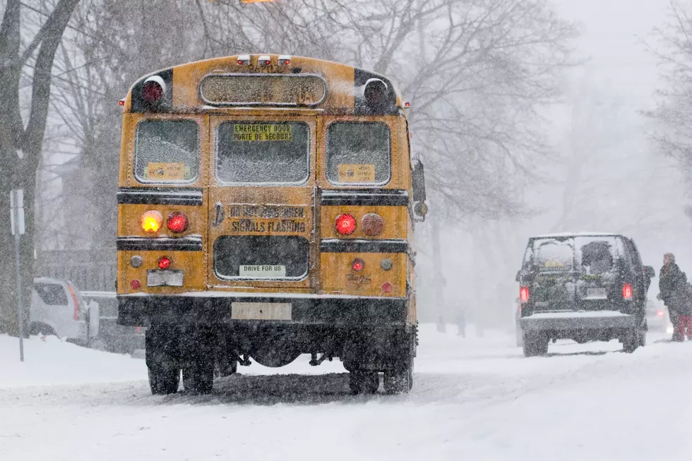
The National Weather Service has issued a weather advisory starting at 1pm on Saturday through 3pm on Sunday. According to meteorologists, light snow showers will begin in most areas of the Hudson Valley by 1pm, turning to heavy snow through the afternoon and evening.
Overnight, precipitation will turn to freezing rain around 2am and continue through Sunday morning. A steady rain will persist throughout the day, finally ending late Sunday night.
Snow, sleet and ice are expected to accumulate from four to seven inches by the end of the weekend.

Frigid Blast Will Cause Issues on Monday
All of that snow, ice and rain will likely cause issues on Monday after an arctic blast blows in after the weekend storm, dipping temperatures well below freezing. According to the National Weather Service, temperatures are not expected to rise above 32 until next Friday afternoon. Until then, expect to see single digits in the overnights and daytime highs in the mid to low 20s.
5 Snowiest Days In New York State History
Gallery Credit: Dave fields
These New York Counties Deal With More Snow Than Most Of America
More From WPDH-WPDA