The Hudson Valley Could See Its First Freeze of the Season This Week
Hard to believe Poughkeepsie set a record high Saturday, as temperatures hit 80 degrees, according to the National Weather Service. But while it may have felt a lot like late August this far into Fall, it was going to last for too long.
Sunday saw a significant cool-off, as highs remained in the 50s, with on and off rain showers through the afternoon.. The rain persisted into Monday, as highs will once again stay in the low to mid 50s.
But forecasters are saying once the rain moves out and skies clear up, it's going get even colder across the Hudson Valley ,and many parts of New York state.
See Also: What's the Coldest Temperature Ever Recorded In the Hudson Valley?
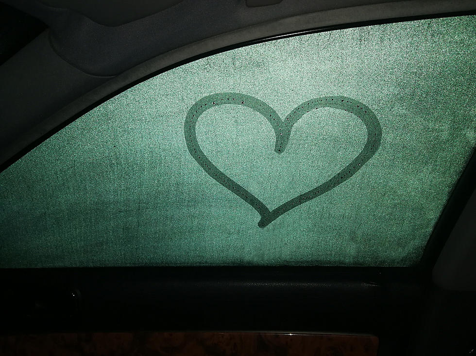
The Hudson Valley's Next Freeze?
The Weather Channel says that highs Wednesday will approach the upper 40s during the day, with a chance for scattered morning showers. Lows Wednesday night will fall into the upper 20s, according to forecasts.
Keep in mind, with lows in the mid to upper 20s expected in Poughkeepsie or Newburgh, it will feel even colder in the higher elevations in areas around Ulster, Delaware and Sullivan counties.
According to Extreme Weather Watch, the last time temperatures fell into the 20s in Poughkeepsie was April 9, when an overnight low of 26 F was recorded..
TWC says that highs will remain in the 50s through the rest of the week, with lows in the 30s overnight. The weekend ahead should see a bit of a warm up, with highs near 60 degrees both days, according to meteorologists.
See also: Thirty-One Counties in New York State Ask For Disaster Relief
New York State Record For Lowest Temp
How about for the entire state? The coldest recorded temperature ever in New York state was -52 F on February 18, 1979, in Old Forge, which is a small hamlet in Herkimer County.
See Also: What's the Hottest Temperature Ever Recorded in New York State?
First Frost Dates Across New York State
More From WPDH-WPDA