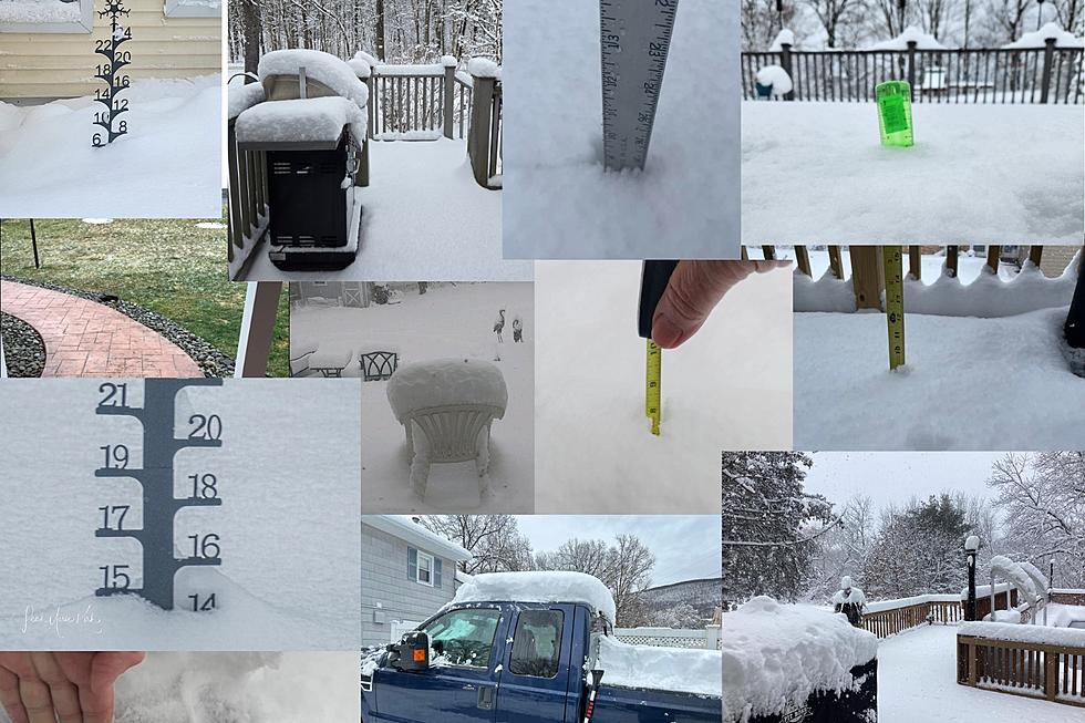
Reports from around the Hudson Valley show just how varied the snowfall totals were on Tuesday.
Reports from around the Hudson Valley show just how varied the snowfall totals were on Tuesday.
A wild snowstorm ripped through the Hudson Valley on February 13. While some residents were buried in snow, others wound up never even seeing one flake. Photographers from around the region submitted their snow photos to us. They show just how mixed the snowfall totals were.
Dina Sena recorded 10 inches of snow in Goshen, while Mark Howard showed an image of his lawn with barely a trace. In between, there was a potpourri of snowfall ranging from an inch or two to over a foot.
Scroll below for a full list of snowfall totals in the Hudson Valley, New York
The storm was originally forecast to dump up to a foot of snow over the entire region. A last-minute shift, however, sent meteorologists into a tailspin. On Monday night the forecast drastically changed, predicting the storm to begin tracking south.
As a result, the snow line wound up cutting right through Dutchess and Ulster Counties. This meant that towns just a few miles apart would experience very different snowfall amounts.
The New York State Thruway Authority shared images from two different traffic cameras taken at the exact same time. The one in Kingston shows bone-dry conditions while the other camera just 15 miles away in New Paltz recorded an intense snowstorm.
During an early morning ride from Wappingers Falls to Poughkeepsie, one driver described slipping and sliding all over the roads that were buried in snow only to eventually wind up in a completely dry parking lot.
Scroll down to see exactly how much snow residents from different towns across the Hudson Valley experienced.
Recorded Snowfall Amounts in the Hudson Valley on February 13, 2024
Gallery Credit: Boris
2023 – 2024 Old Farmer’s Almanac Winter Weather Forecast
Gallery Credit: Mary K
More From WPDH-WPDA


