Winter Storm Watch For The Hudson Valley and Parts Of New York State
February started off sunny and mild across the Hudson Valley and New York state. The National Weather Service says that record highs were set in many areas Friday and Saturday, as highs approached 60 F. The pleasant weather may have had some thinking ahead to spring, though winter isn't finished just yet.
*** Update: The National Weather Service in Albany Has issued a Winter Storm Warning For The Area ***
An approaching storm is expected to bring much colder air to the area, as well as a potential winter storm.
See Also: Spring Weather Could "Come in Like a Lion" in New York State & the Hudson Valley
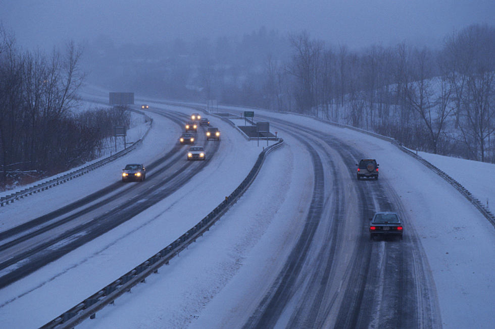
Winter Storm
Hudson Valley Weather says that snow is expected to start early Tuesday morning, as the storm moves up from the southwest.

The National Weather Service in Albany has issued a Winter Storm Watch for late Monday into Tuesday, for Litchfield Hills of northwestern Connecticut, Berkshires of western Massachusetts, Capital District, central and eastern Mohawk Valley, Schoharie Valley, eastern Catskills, mid-Hudson Valley and Taconics of eastern New York, and all of southern Vermont.
The NWS says that travel could be very difficult to impossible, as snowfall rates may exceed 1 inch per hour at times late Monday night through Tuesday morning.
See Also: What's the Most Snow New York State Has Received in 24 Hours?
New York's Top 5 Snowiest Counties
Gallery Credit: Karolyi
Poughkeepsie Rain Records
The National Weather Service says that Poughkeepsie gets an average of 41.9 inches of rain per year, with 2011 being its rainiest year with 62 inches. Poughkeepsie's record for most rainfall in one day was set on October 8, 2005, when 7.6 inches of rain fell. Extreme Weather says that 17.6 inches of rain fell during October 2005, which set the all-time monthly record.
According to Weather Stern, the all-time record for rain in a 24 hour period was set August 13-14, 2014, when 13.57 inches was overserved at the Islip Macarthur Airport. records indicate that over an inch of rain fell in under 10 minutes that day (5:39 - 5;48 AM).
What makes this even more astounding is that this event was not even tied to a tropical storm of any kind.
See Also: What Are the Strongest Tornadoes to Ever Hit New York State?
The NWS says the previous record was 11.6 inches at Tannersville, NY on August 27-28, 2011 as Hurricane Irene moved inland (The Columbus Dispatch also states that an area near Tarrytown saw the same amount of rain in 24 hours during Irene)
LOOK: The most expensive weather and climate disasters in recent decades
Gallery Credit: KATELYN LEBOFF
More From WPDH-WPDA