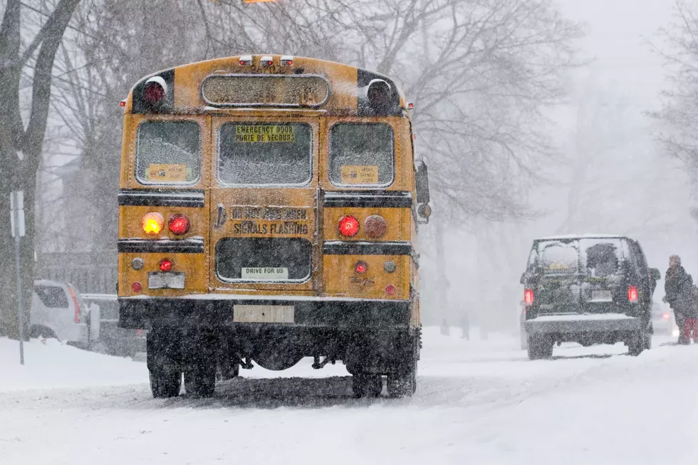
Wild Weather in Hudson Valley Leading Up to Christmas
A huge storm is barreling toward the East Coast just before Christmas. How will this affect the Hudson Valley?
Last week we told you that the Hudson Valley was predicted to receive over two feet of snow in the days leading up to the holiday. Luckily, we won't see that much snow, but some nasty weather will certainly put a damper on everyone's travel plans.
The National Weather Service is tracking a major winter storm that will bring blizzard-like conditions to much of the country. The system is expected to cause flight delays and dangerous driving conditions from Wednesday through Christmas Eve. The most affected areas will be concentrated in the Great Lakes, with the storm affecting most areas in the Midwest and Eastern United States.

The good news is that the Hudson Valley is no longer expected to receive the worst of this storm. However, a mix of rain, sleet and snow will make travel difficult.
Thursday
The National Weather Service is calling for a slight chance of snow on Thursday morning. That will most likely change to rain later in the day as temperatures rise to the mid-40s.
Thursday Night
Heavy showers are expected for late Thursday evening. Up to two inches of rain could fall on the region.

Friday
Rain showers will continue through Friday, with temperatures in the mid-50s. As the storm moves through the region, temperatures will begin to drop, but it shouldn't be enough to switch over to snow during the day.
Friday Night
Temperatures will quickly drop making it possible for some of the rain showers to switch over to snow. No major accumulations are expected.

Christmas Eve and Christmas
As of now, it looks like Santa will have no problem navigating the skies over the Hudson Valley. We won't see any precipitation on Saturday or Sunday, Temperatures, however, will be very cold with daytime highs in the mid to low 20s.
Make sure you keep up to date on the weather all winter long by downloading our free app. We'll keep you updated with the latest forecasts, traffic and snow-closing information as it happens.

5 Snowiest Days In New York State History
Stock Up on These Winter Essentials Before It Snows
More From WPDH-WPDA