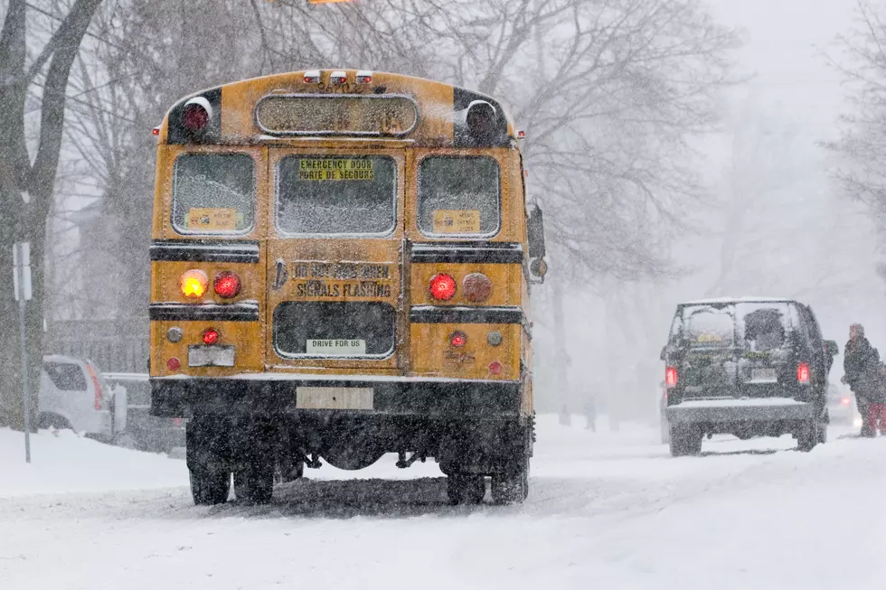
Weekend Weather For New York’s Hudson Valley Area
Many areas of the Hudson Valley in New York saw this season's first snow, as a winter storm moved through the area Tuesday. By Thursday night, temperatures had dropped to single digits across many parts of the area, bringing the Hudson Valley it''s first Arctic air.
Meteorologists say that the temperatures will warm up this weekend, but by how much?
AccuWeather Releases Winter Weather Outlook For New York State
AccuWeather meteorologists says that the upcoming winter could bring early season winter storms, that could push "toward the mid-Atlantic and New England, where some could strengthen into nor’easters".
See Also: What's the Coldest Temperature Ever Recorded In New York's Hudson Valley?
But while experts say that "snowfall is projected to be higher than last winter in parts of the Northeast", overall season totals may still finish below the historical average.
Weekend Weather Forecast For New York's Hudson Valley
The Weather Channel reports that highs both Saturday and Sunday will reach the mid to upper 30's, with a mixture of sun and clouds. Lows will stay in the 20s overnight.
What is La Niña?
A La Niña is a phenomenon that produces cooler than average water temperatures in the tropical Pacific Ocean. It is not to be confused with El Niño, which is where warmer water temperatures occur in that part of the world. Both can greatly affect weather around the world.
AccuWeather forecasters use weather phenomena like La Niña or El Niño to make their long-range predictions, which influence weather patterns for months to come.
However, meteorologists say that a La Niña "may not officially develop this winter, but there could be times during the season when the weather patterns act the way they do when La Niña is occurring".
The Climate Prediction Center says that a La Niña usually pushes the jet stream further south during the winter months. As for the Northeast, experts say that precipitation could be more in the form of rain, if it stays warm enough this winter.
More From WPDH-WPDA