WEATHER: Winter is Here. Cold, With Possible Storm on the Way
For those who have been saying the past few weeks have been too mild, this will be your time. Forecasters are saying the first full week of 2022 will be bitterly cold. There is also a potential coastal storm that meteorologists are watching, which could bring the first significant snow for the majority of the region by the end of the week.
Highs Monday will stay in the 20s, with gusty winds which will send wind chills into the 10s. Skies will remain mostly cloudy until later at night, as lows will drop into the mid-10s overnight. We might actually see the Sun for the first time in ages by Tuesday, as partly cloudy skies will prevail with highs in the 30s. The chance for precipitation will return by Wednesday though, as afternoon showers are possible. Highs will be in the low 40s and lows in the low 30s.
The first real snow for most of the Hudson Valley (if you exclude parts of the upper HV the weekend of Thanksgiving), could arrive by late Thursday. The models are currently inclusive, with some data keeping the storm to the south and off the coast, and others bringing the majority of the potential snowfall more inland. HVW says there is a chance for a nor'easter by late Thursday into early Friday however. right now, it is still too early to predict snowfall totals, but we will give updates as the potential storm approaches.
Any snow we may receive is expected to depart by late Friday, as low temperatures will fall into the 10s. Hudson Valley Weather says that wind chills will plummet to near zero overnight. If you wanted winter, then your wait appears to be over.
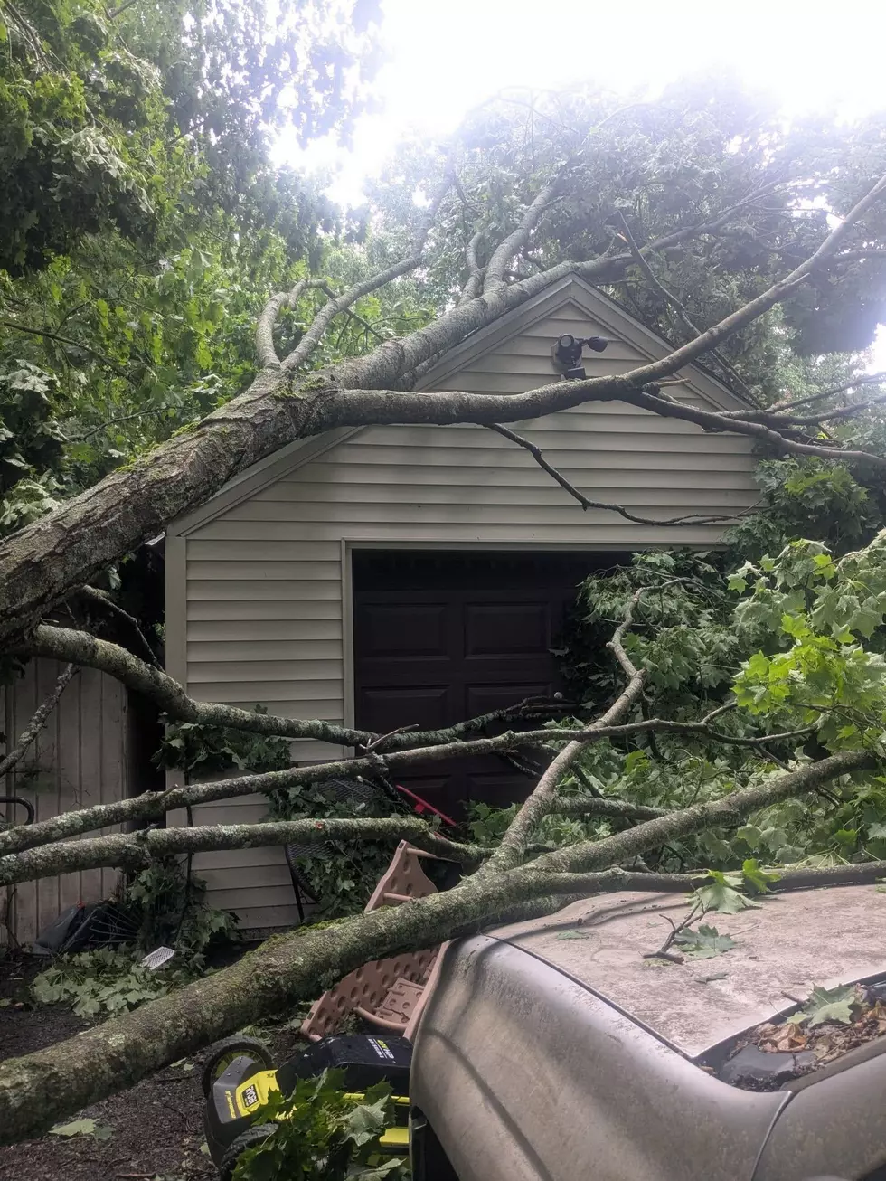
LOOK: The most expensive weather and climate disasters in recent decades
KEEP READING: Get answers to 51 of the most frequently asked weather questions...
TIPS: Here's how you can prepare for power outages
More From WPDH-WPDA