
Hudson Valley in ‘Bullseye’ With Highest Weather Risk This Week
The Hudson Valley is now in the bullseye for what forecasters say could become one of the most significant weather events we've seen this summer.
State officials are warning that our region faces the highest risk in New York for dangerous flash flooding between Tuesday and Wednesday.
Governor Kathy Hochul issued a statewide alert Monday, urging residents to prepare for heavy rain, possible thunderstorms and rapidly changing conditions. While much of New York is expected to see wet weather, the Mid-Hudson Valley, New York City and Long Island have been placed in the state's highest flood risk category, with a 40 to 70 percent chance of flash flooding.
Forecasters say most of the region could receive between two and five inches of rain over the two-day period. Some isolated locations could pick up as much as six inches, while parts of the Catskills may see six to eight inches by Wednesday morning.
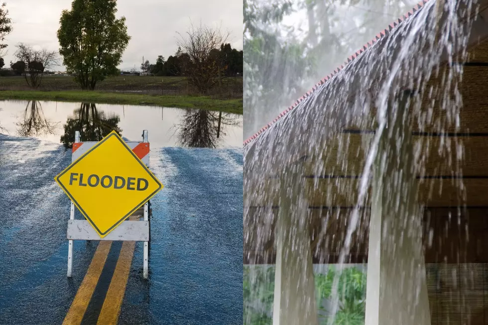
That much rain falling in a short amount of time can quickly overwhelm storm drains, flood low-lying roads and cause creeks and streams to rise. Officials say travel could become dangerous because of standing water and poor visibility.
State agencies have already begun preparing for the storm. The New York State Division of Homeland Security and Emergency Services has emergency response teams on standby, while the Department of Transportation has more than 3,400 workers ready to respond to flooding, clear blocked culverts and repair damaged roads if necessary.
The Governor is encouraging everyone to keep a close eye on local forecasts over the next two days and avoid traveling through flooded roadways. Even a foot of moving water can carry away a vehicle, which is why emergency officials continue to repeat the familiar warning: "Turn Around, Don't Drown."
If you haven't already, officials also recommend enabling emergency alerts on your phone. New Yorkers can receive real-time weather and emergency notifications by texting the name of their county to 333111.
With the heaviest rain expected through Wednesday, anyone with travel plans across the Hudson Valley should be prepared for rapidly changing road conditions and possible flash flooding with little warning.
Fourth of July Storm 2026
Gallery Credit: Listener submissions
More From WPDH-WPDA