WEEKEND WEATHER: Some Areas Could See Snow Showers?
After a cold start to the week across the Hudson Valley, temperatures rose overnight Thursday as rain moved in from the west. Friday morning was quite mild, with off-and-on rain showers and gusty winds ahead of a cold front. Heavy rain is expected over many parts of the Hudson Valley early Friday, according to the forecasts. How long will the rain last as we head into the weekend? Could it even get cold enough for some snow flurries in some parts?
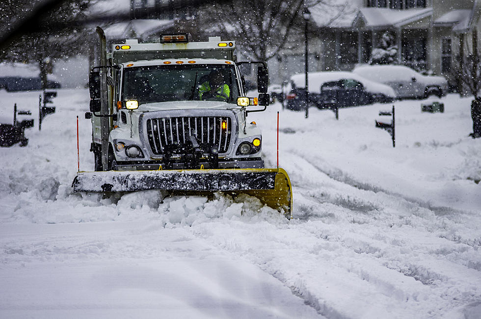
Friday will see highs well into the 60s ahead of the rainfall. Once the precipitation has departed, expect gradually cooler temperatures to move back in across the area as the afternoon progresses. Lows will cool off into the low 40s overnight Friday, as clouds will persist. Saturday will bring another chance for rain showers, with highs in the mid-50s during the day. Saturday night will be much colder though, with lows in the low 30s and the continued chance for rain showers. It could get cold enough for some of the rain to change over to snow showers, especially in the higher elevations, though don't expect anything significant.
Sunday will finally see the threat for rain diminish, as highs will be in the upper 40s to low 50s. Skies will remain mostly cloudy overnight, as lows will fall into the low 30s. Next week should start off cool, with daytime highs remaining in the 40s, before a slight warm-up by midweek.
Some of the extended forecasts for the winter so far are a bit conflicting. While some, like the Old Farmer's Almanac, are saying we should expect near-normal temperatures and precipitation, other forecasts are calling for below-average temps and above average snow. One big factor could be the return of La Niña. La Niña is a phenomenon that produces cooler than average water temperatures in the tropical Pacific Ocean around the equator. It is not to be confused with El Niño, which is when warmer water temperatures occur in that part of the Pacific. Past La Niñas have produced colder, snowier winters across the northeast.
LOOK: The most expensive weather and climate disasters in recent decades
KEEP READING: Get answers to 51 of the most frequently asked weather questions...
TIPS: Here's how you can prepare for power outages
More From WPDH-WPDA