WEATHER: How Much Snow Will the Hudson Valley See?
The Hudson Valley woke up to several inches of snow on the ground Monday morning as winter storm affected many parts of the Northeast. And it looks like there could be a slight chance for more frozen weather on the way. After all, it is winter in New York state. But just how much, if anything, will we see this week ahead for snow? One thing is pretty sure, forecasters say it will get much, much colder towards the end of the week again.
Highs Monday will actually reach the mid-30s, to around 40 degrees, as the afternoon goes on. Most of the snow will move out of the area by late morning, and any precipitation that falls is expected to remain in the form of rain and sleet later. Some possible flurries could still fall across parts the region by evening, as lows will fall into the low to mid 20s Monday night. Highs Tuesday will reach around 30, as skies will become partly sunny by the afternoon. Lows Tuesday night will fall to the low 10s.
Wednesday will more than likely see the best forecast of the week, as highs will approach 40 under partly cloudy skies during the day. Thursday will remains the low 30s early, though the next cold snap is expected to arrive by that night, as lows will fall into the single digits once again. Friday will highs in the 10s. and lows around 5. Saturday and Sunday will see highs range from the 20s to 30s, with a mixture of sun and clouds. there will be a slight chance for scattered precipitation that will persist through early next week.
So just how cold did it feel across parts of the Hudson Valley over the weekend? According to the National Weather Service in Albany, some parts of the county felt like -20 F Saturday morning. LaGrangeville had the lowest reading at -20, with Red Hook at -19, and areas outside Pawling at -18 F. The Dutchess County Sheriff's Office shared the dangerously cold numbers in a post on their Facebook page Saturday morning. The Sheriff's Office reminded residents to check on family, friends, and neighbors, to make sure they're safe during wintry weather.
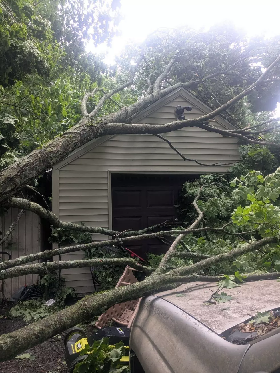
LOOK: The most expensive weather and climate disasters in recent decades
KEEP READING: Get answers to 51 of the most frequently asked weather questions...
TIPS: Here's how you can prepare for power outages
More From WPDH-WPDA