![Everything You Need to Know About Winter Storm Stella in the Hudson Valley [UPDATED]](http://townsquare.media/site/705/files/2017/03/GettyImages-634408576.jpg?w=980&q=75)
Everything You Need to Know About Winter Storm Stella in the Hudson Valley [UPDATED]
Snow began falling in parts of the Hudson Valley after midnight Tuesday. By 1 a.m. many streets were completely covered. By morning most of the local area already had three to eight inches of snow on the ground and by afternoon, that had increased to nearly two feet in some towns.
In their final snowfall forecast, Hudson Valley Weather predicted 16 to 24 inches of snow for the entire Hudson Valley and the Catskills, with the chance of some areas seeing up to 30 inches of snow.
The National Weather Service is predicting the following for our local counties:
- Dutchess County: 16-27 inches, 25 most likely
- Orange County: 15-29 inches, 25 most likely
- Ulster County: 17-27 inches, 25 most likely
- Putnam County: 14-30 inches, 23 most likely
- Rockland County: 11-32 inches, 21 most likely
- Columbia County: 17-27 inches, 24 most likely
Unofficial snow reports sent to the National Weather Service bureaus in Albany, New York City and Binghamton indicated these predictions largely bore out.
New York Gov. Andrew Cuomo declared a state of emergency that began at midnight Tuesday.
Most local officials also issued states of emergency for their local counties in the Hudson Valley, including Ulster, Orange and Dutchess counties.
“All roadways in Dutchess are closed and traffic is prohibited except for: medical and health facility personnel, law enforcement and public safety personnel, first responders, utility, maintenance and public works personnel, snow removal sanding, salting and clearing operations personnel, facility operations persons deemed necessary for plant operations by their employers and public and government personnel involved in the emergency operations,” Dutchess County Executive Marc Molinaro said.
All non-essential travel on all Orange County roads were banned until 11 p.m. Tuesday.
Tractor trailers are prohibited from traveling on major New York thoroughfares for the duration of the storm, Gov. Andrew Cuomo announced via press release.
Trucks were banned from driving on the New York State Thruway and I-84 during the storm. The ban started at 9AM and included the New York Thruway, I-84, I-86/Route 17 and I-88.
Cuomo eventually closed I-84 to all traffic at 1 p.m. on Tuesday.
Metro North service was suspended at noon but was expected to resumed at hourly service at 6 p.m.
Yesterday afternoon, a Blizzard Warning was issued for the Hudson Valley.
The heaviest part of the storm hit between 6 a.m. and 2 p.m. The storm began to taper to snow showers at 4 p.m.
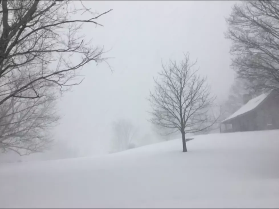
Snowfall rates of one to four inches per hour struck during the peak hours of the storm. Near white out conditions, zero visibility, wind gusts of over 35 mph, snow drifts and even a thunderstorm were in the forecast.
The combination of lots of snow and high winds could lead to power outages and snow drifts of several feet.
“This storm will be the biggest storm of the season for the entire Hudson Valley,” Hudson Valley Weather wrote on Facebook. “Depending on exactly how this storm comes together… if it unfolds as the European model is currently suggesting… this storm could be one of the biggest in years.”
Use our storm center for all the local snow closing and delays.
| 1) Select the category you would like to search by choosing the appropriate button next to "Name of Organization" or "City" 2) Type in part or all of the name, e.g. "pough" or "poughkeepsie" 3) Submit your request by clicking the "Submit Your Search" button. | ||
While you are stuck inside, here are some things to keep your kids occupied, so you can keep your sanity.
Here are more great ideas for what to do on your snow day!
Hopefully you stocked up on these 10 items before the storm.
After you've shoveled out, you might as well get out and enjoy it on Burger Hill in Rhinebeck.
Gov. Cuomo said the state is prepared for this blizzard.
More From WPDH-WPDA


