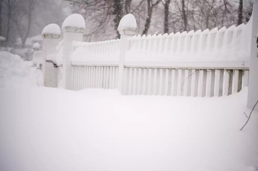
Up to a Foot of Snow Predicted for Parts of the Hudson Valley
An updated forecast for Wednesday’s snowstorm isn’t one most will be happy to hear. The Hudson Valley will see snow, some northern parts up to a foot.
A mix of snow, sleet and freezing rain is in the forecast. According to Hudson Valley Weather, snow should start from west to east from 7 a.m. to 10 a.m.
Between 2 p.m. and 5 p.m. snow will change to sleet and freezing rain in the areas near I-84. South of I-84 will see the change around noon.
The storm is expected to taper off between 6 p.m. and 9 p.m. from west to east.
“By the time the storm exits Wednesday evening, we could see a wide range of snowfall amounts across the region,” Hudson Valley Weather wrote on its website.
Hudson Valley Weather is predicting 4 to 8 inches of snow for most of Orange, Dutchess, Ulster and Sullivan counties.
Most of Putnam County and the upper parts of Rockland and Westchester counties are in the 2 to 5-inch range.
The upper parts of the Hudson Valley, including areas in upper Ulster and upper Sullivan counties, could see 6 to 12 inches of snow.
The National Weather Service issued a Winter Storm Watch from Wednesday morning until early Thursday morning for the entire Hudson Valley.
- Up to a Foot of Snow Predicted for Parts of the Hudson Valley
- Hudson Valley Cop Admits to being Racially Hostile At Cab Driver
- Car Flips Over Into Woods on Taconic in Dutchess County
- 3 High-Risk Sex Offenders Move in Hudson Valley
- Hudson Valley Teen Sexually Abused 3 Children
- Alleged Hudson Valley Gang Members Accused of Multiple Murders
Here are this week's Top 5 news stories from the Hudson Valley
More From WPDH-WPDA